
It remains a shortcut to Miklas Meat Market and the Rose Bowl from the west side of Edgwood Street, and the thruway serves the same for those to the east looking to get to Sheetz, Tim Hortons, or Hardee’s on foot or by bike.
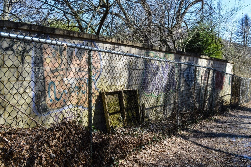
The path once was shrouded with trees that formed natural fencing for Echo Point Circle and Kenwood Place, two housing developments rife with mansions and fancy cars, but now chain-link fencing locks travelers into the graveled lane until reaching Heiskell Avenue on one side or Elm Street on the other.
“Everyone knew about the path when I was a teenager; that’s for sure,” said Don Atkinson, a former Wheeling Council member and a 40-year veteran of Ace Garage. “There were a lot of my friends who hung out there, especially during the warm, summer nights because it was kind of a hiding place, and because the police pretty much left everyone alone.
“There was beer and some other stuff, you know, but that was a different time, and that’s probably why the police were OK with it, as far as I know,” he said. “They even had fires along that stream, and no one seemed to care. That wouldn’t be the case nowadays, no way.”
Pigs to Market?
Those who roamed the Woodsdale neighborhood on foot or bike during the 1970s know this trek as “The Path,” and those who were older referred to it as “Lover’s Lane” probably because it’s tucked away, hidden by natural growth, and once was a pathway to, perhaps, that first kiss.
At some point during the 1980s, Atkinson reported, the trail became the “Pig Path.”
“As I remember it, it kind of happened almost overnight when we would get calls at the garage,” he said. “People would use the path as a landmark when explaining where we needed to go for whatever reason, but then they started saying the pig path, and I know I was confused at first. Why it changed, I have no idea.
“My son knows it as the pig path, too, so it had to start with the folks who are much younger than I am,” he continued. “I’ve heard it changed names because, before Woodsdale became what it is now, it was all a farm, and that path is how they took pigs to the market to sell. Whether or not that’s true, you got me.”
The Wood family owned much of what is now known as Woodsdale, now a city historical district thanks to Wheeling Heritage, and the only portion of that farm rests across Bethany Pike (W.Va. Rt. 88) from Woodsdale Elementary School. The field, once open for public use but now closed, is bordered by Long Run.
“There’s one of those white (historical) markers near that field, and it says that a family member of George Washington is buried there somewhere,” Atkinson said. “I mean, that’s pretty cool even if we have no one idea where, right?”
Gravel, Mud, and Skeletons.
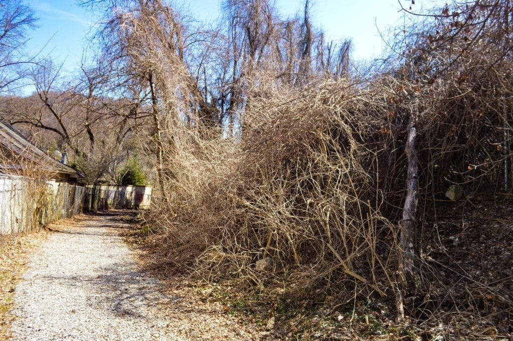
Considering the last week of weather, the path was in decent condition this past weekend with run-off from Echo Point Circle causing sloppy conditions along a few stretches.
In the 1970s and 1980s, the city of Wheeling would apply a thin cinder covering to the path, but these days it appears to be more of a gravel similar to what is utilized on construction sites.
“I know when I was on council, we did approve funding for the gravel, but we weren’t the ones who made the change from cinder, and I’m not sure when that took place,” Atkinson said. “The path wasn’t something I would have paid attention to after getting married and starting a family.
“There have been a few people calling the garage from around that area in the last couple of years, but not as many as before,” he recalled. “Anyhow, there’s a picnic table there now.”
Eagle Scouts.
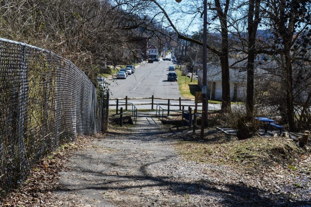
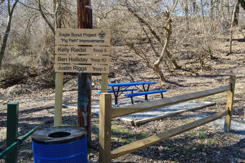
The east side of the trail realized a facelift last year when three Boy Scouts from two local troops raised funds to construct a picnic table area near the small bridge that spans Elm Run. The scouts, Kelly Riedel and Justin Riggs from Troop 5 and Ben Holliday from Troop 82, adopted the initiative for a collective Eagle Scout Project.
“One of those young men had a cousin who was hit by a car after using the path, so that’s why it’s been redirected to the side that feeds into Carmel Road,” Atkinson explained. “And I’ve seen families using the area so that tells me it’s a positive change in that neighborhood. It looks pretty cool.
“My hope now is that the city keeps it maintained because I bet even more people use it this spring and summer if it is,” he said. “And hey, if it gets people outside and off their phones, I’m all for it.”
“The Path,” “Lover’s Lane,” the “Pig Path” … Atkinson doesn’t care how it’s referred to because of its uniqueness. Once used by trains and trolleys before the automobile took over transportation in the city, this neighborhood trail has welcomed walkers, runners, and bicyclists for decades.
“It’s just another one of those things that makes Wheeling what it is,” Atkinson said. “The number of stories I’ve heard through the years; …people really do have a lot of fond memories of that path, and I think it’s because there’s nothing like it around here, and that makes it pretty cool.”