If a new development other than private homes on designated lots on 100 acres of Woodsdale Hill is planned by the owners of GC&P Development, it is likely they will have to address the Wheeling Planning Commission once again.
The owners of the development firm did not return messages, but the city of Wheeling’s Tom Connelly confirmed that any project plan that includes significant earth movement ultimately would require approval from a majority of Wheeling Council members.
“Most of it is zoned R1A, which is single family residential,” Connelly explained. “That means you are allowed to build one home on a lot. The owners of that land have it split into three or four lots right now, and they also have lots along W.Va. Route 88, so they would be able to build homes on each of those lots.
“One of the lots on the hill is around 45 acres, and another is a little more than 20 acres,” he said. “They are large lots because that’s how they were when they purchased them, but if you add all of them up, the total reaches about 100 acres. Now, those lots can be split up, and all they would have to do is file for a subdivision, and there two types of subdivisions in the city, including a major and minor.”
Connelly also confirmed he has not received a new, formal proposal for the property.
“I have not heard from the owners recently, and during the review of the mixed village they did say that their fallback plan could be to develop housing in that area,” Connelly said. “They mentioned that during a few of the meetings, but they have not submitted anything to the city.”

And the Difference Is?
An elaborate plan was revealed by the developer in 2019 that featured a mix-used village with commercial and residential aspects. The multi-year project involved shaving about 200 feet off the top, re-inventing traffic patterns along Bethany Pike, and altering how rain would stream off both sides of the hill that separates the Woodsdale and Greggsville neighborhoods along W.Va. Route 88.
A group of residents known as Woodsdale United was organized and instigated a stop order in 2015 after lumbering and core sampling had taken place on the north side of the property. Although the operations were permitted by state agencies, the city was not involved at that point. Representatives of GC&P Development then addressed planning commission members without revealing the intention for a mixed-use village.
Once the entire plan was presented, though, the city’s Planning Commission rejected it this past fall by a unanimous vote.
But if housing is the Plan B, what’s “major” and what’s “minor”?
“A minor subdivision is less than three lots that doesn’t include the creation of infrastructure like a road,” Connelly said. “A major subdivision is anything that is above three lots or the creation of roads and infrastructure. Every subdivision gets approved by the city’s Planning Commission, and they approved subdivisions like Timber Grove in Elm Grove and Arbordale near Wheeling Park.
“So, when a property owner has a piece of land, and they come to the city with their plan, and they show the number of lots, utilities, roads, and everything that is needed to create a major subdivision, the commission reviews it and votes on it,” he said. “So, as of right now, GC&P Development would be able to build one home on each lot that they own, but if they build just one home on the top of that hill, the access road would be considered a driveway and not a city street. If they wanted to build more than one home with one road that has access to them, then they would need a city road, and that would make it a major subdivision.”

Homes or a Hunting Cabin?
The members of Woodsdale United have been very clear when delivering their concerns to city officials, and many property owners attended and voiced opposition to the project during a public hearing at Wesbanco Arena in September.
Water run-off issues have been experienced, residents reported, and worries of uncertainty have been expressed as well. After shaving 200 feet from a hilltop with a current elevation of 1,100 feet, would the developers move forward with the village construction or sit on the profits from mining the various stone? Can an already-busy intersection at National Road and Bethany Pike handle more traffic?
While it is possible the development firm will submit an amended proposal for another planning commission’s review, any allowable activity on the property will attract attention.
“There is a section in the code that permits the development department to require any property owner to go through the review process,” Connelly said. “That’s when there is a belief that there needs to be a review of the activity going on with a certain property, so any activity could trigger a review.

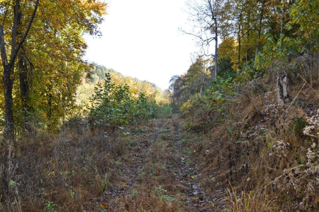
“State agencies also get involved any time a landowner wants to develop more than an acre of land, and the city’s rules for storm water management would also come into play,” he continued. “Every once in a while, the city will get a call about someone clearing a property and disturbing the earth, and that is what took place back in 2015, when the owners were cutting roads and clearing parts of that hilltop.”
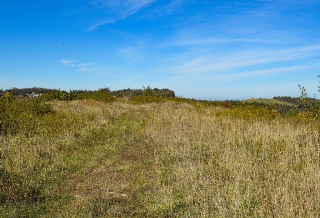
The ridgeline on the top of Woodsdale Hill above Bethany Pike to Vista Lane is a fairly even plateau that was partially cleared when a radio tower was operational there between 1950-1975. The tower and the small building that housed the transmitter since have been cleared, and now a couple of fire pits, beer can litter, and food wrappers are most common today.
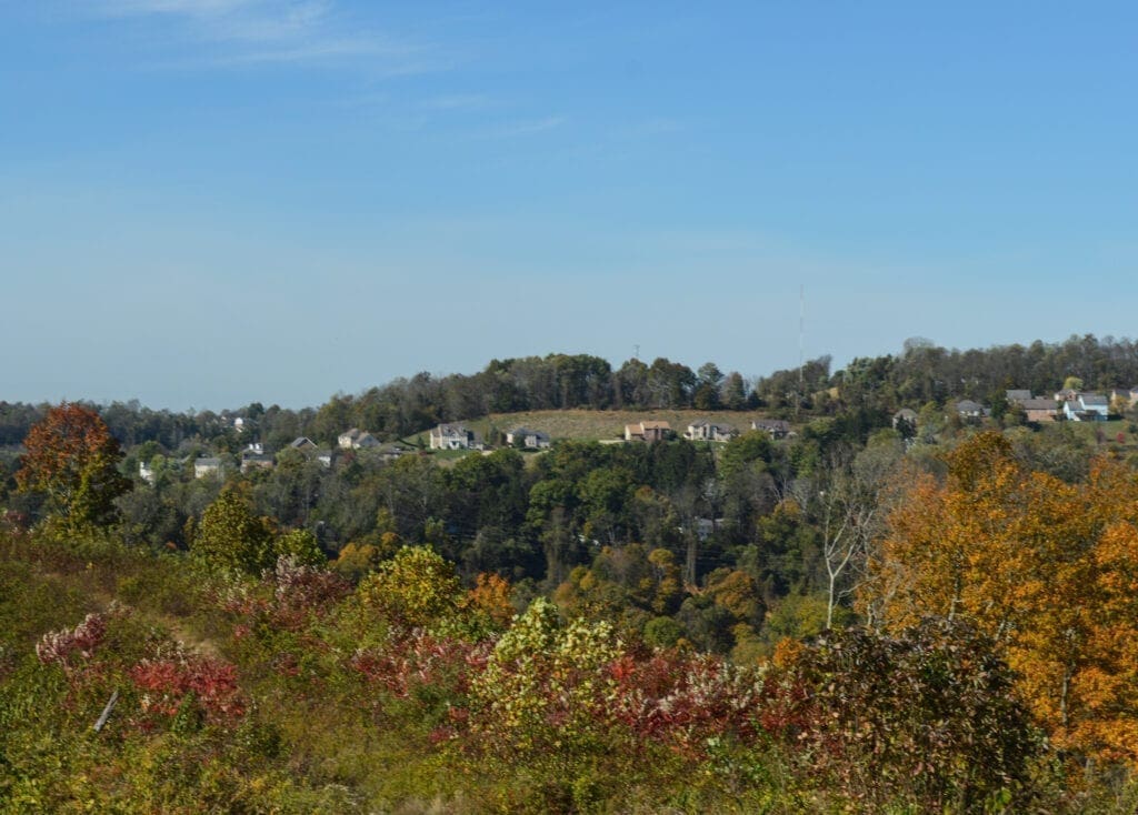
During a clear day or evening, the views of suburban Wheeling are plentiful, so the hilltop would offer an attractive atmosphere for residents of hilltop homes, but even a shared driveway could fall under local scrutiny.
“Let’s say the owners wanted to build a little hunting cabin for themselves that’s just a 500-square-foot shack, but they also wanted to clear the hill down to the same elevation they planned for the mixed-use village; they would still be required to go to the Planning Commission because of the potential for that plan to have a pretty big impact,” Connelly explained. “Now, if the plan was to build the cabin on the hilltop with a minor amount of earthwork, then the owners could build the cabin without any issues with the city.
“But right now,” he added, “the city doesn’t know what plans the owners of the land have for it.”


