
There was a time in this town when trolleys connected neighborhoods and allowed for municipal expansion because the city’s first form of public transportation took people away from the dangers of Wheeling’s bustling downtown and to unsoiled water sources and natural air.
Those streetcars allowed for the birth of Wheeling’s suburbs, too, with Center and South Wheeling lines developed first and rails that carried passengers from downtown all the way to Elm Grove added during the tram’s six decades of operation. Only a few remnants of the industry remain today, however, and more tracks have been uncovered and removed during the current streetscape project along Main and Market streets.
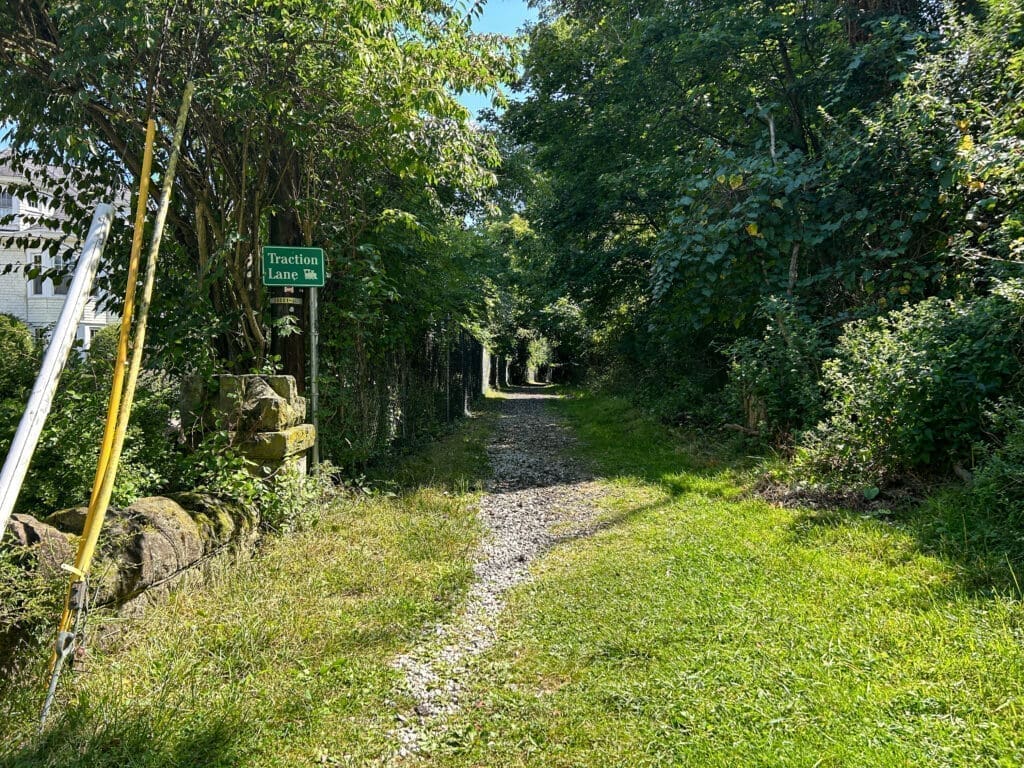
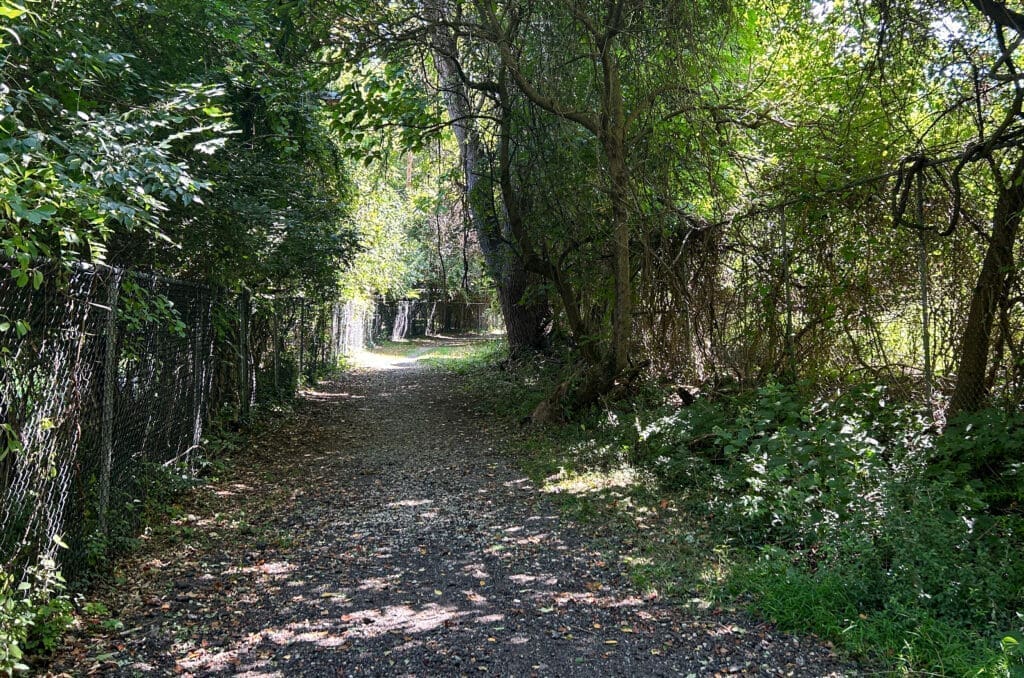
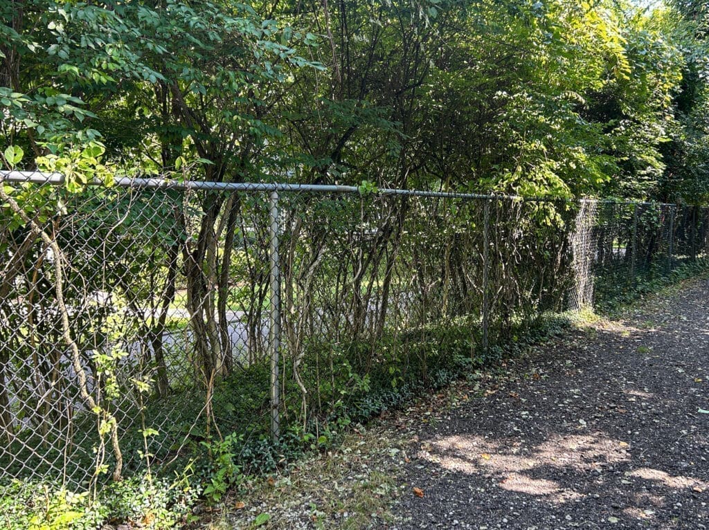
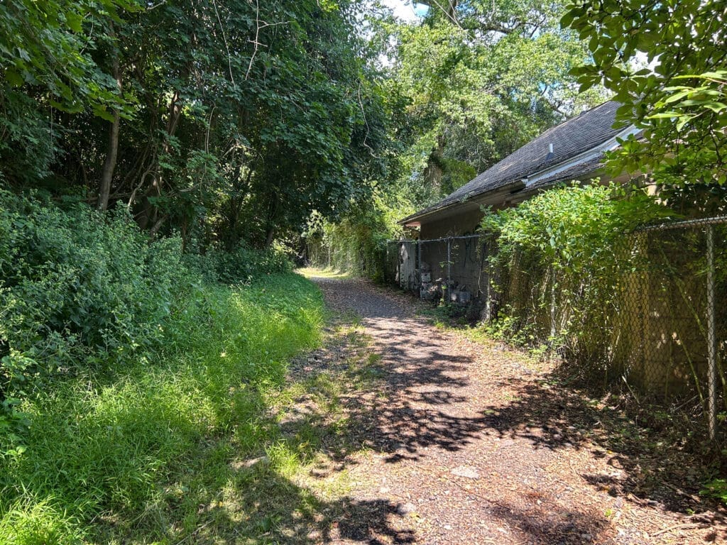
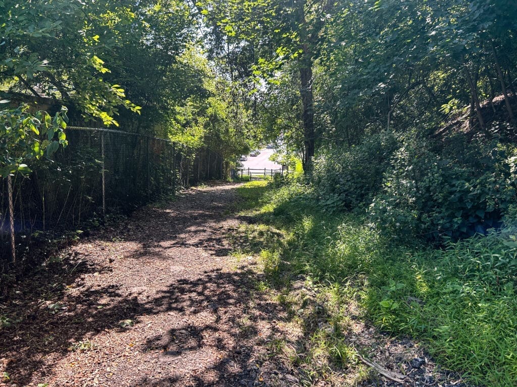
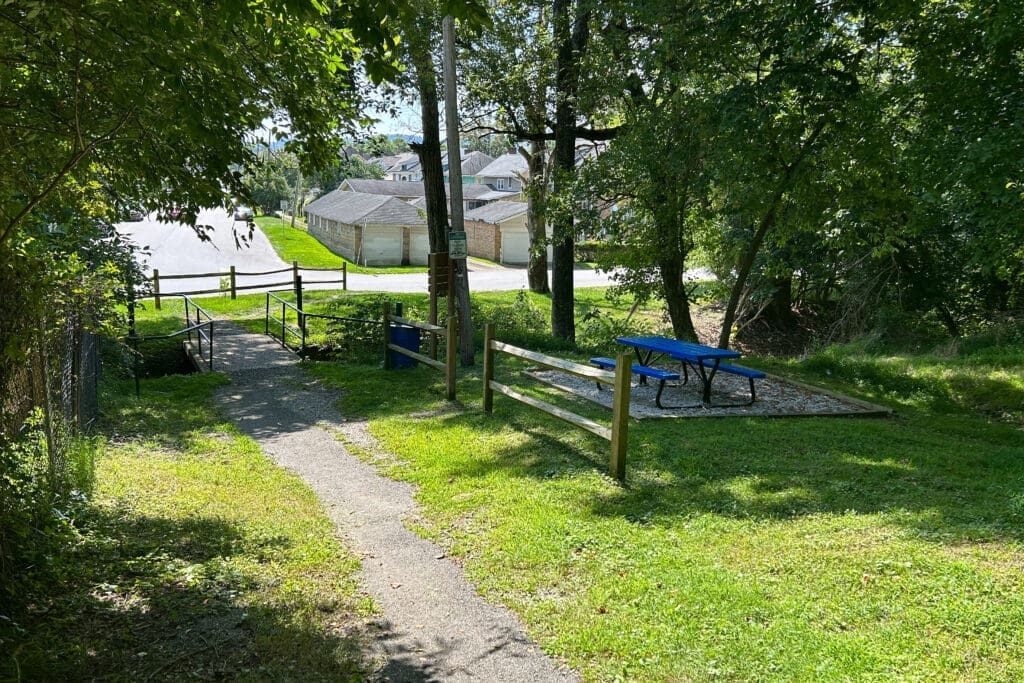
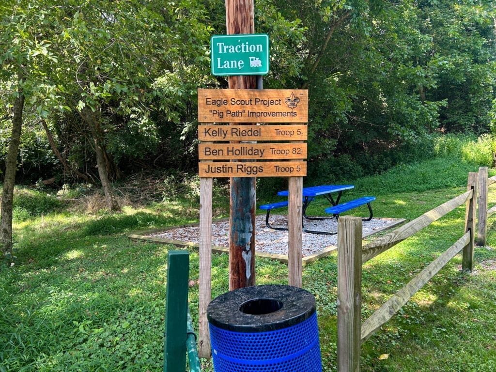
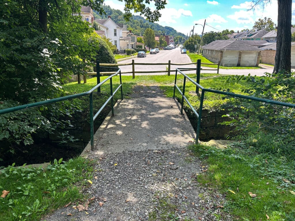
The best piece of proof that remains today has been renamed by local historians as “Traction Path,” but the slender, grass-and-gravel lane always will be better known as “The Path,” “The Pig Path,” and as “Lover’s Lane.” The trail stretches from Heiskell Avenue to Elm Street and it rests between two developments known as Kenwood Place and Echo Point Circle.
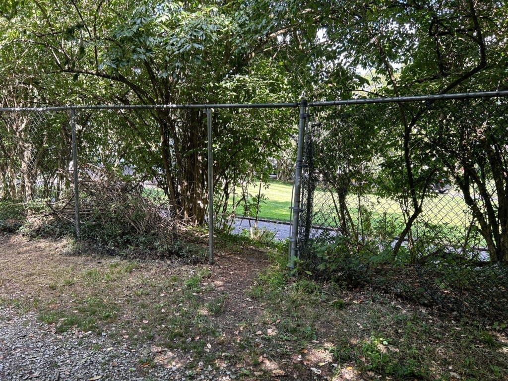
According to information archived by the Ohio County Public Library, the wooded pathway was a small portion of the Elm Grove-to-Woodsdale line. These days, though, the throughway is labeled “Traction Path” and it’s been civilized by Eagle scouts and the City of Wheeling with drainage control, a picnic table, lighting, and a new entrance/exit on the east side of the trail.
There was a time, though, when young adults hid away for their evening path parties and local kids utilized it as a quick portal to sneak between the two halves of the Woodsdale neighborhood.